Trigger cascade
One sensor may trigger another. Movement may trigger a camera. Camera images trigger automated identification. That ID may trigger a field text alert, a control center alert and other configurable threat elevation events.

Activity at the perimeter is detected.
Sensor and camera data is gathered for the event.
The collected data is processed to establish event context.
The monitoring team responds to the event or dismisses it as non-threatening.
The event and its data are archived for the record.
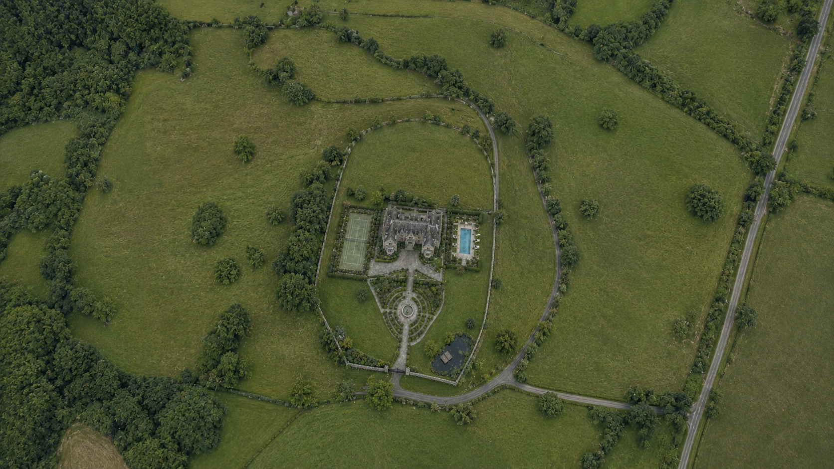

01DetectionActivity at the perimeter
02Data CollectionSensor + camera data
03Data ProcessingProcessed on site
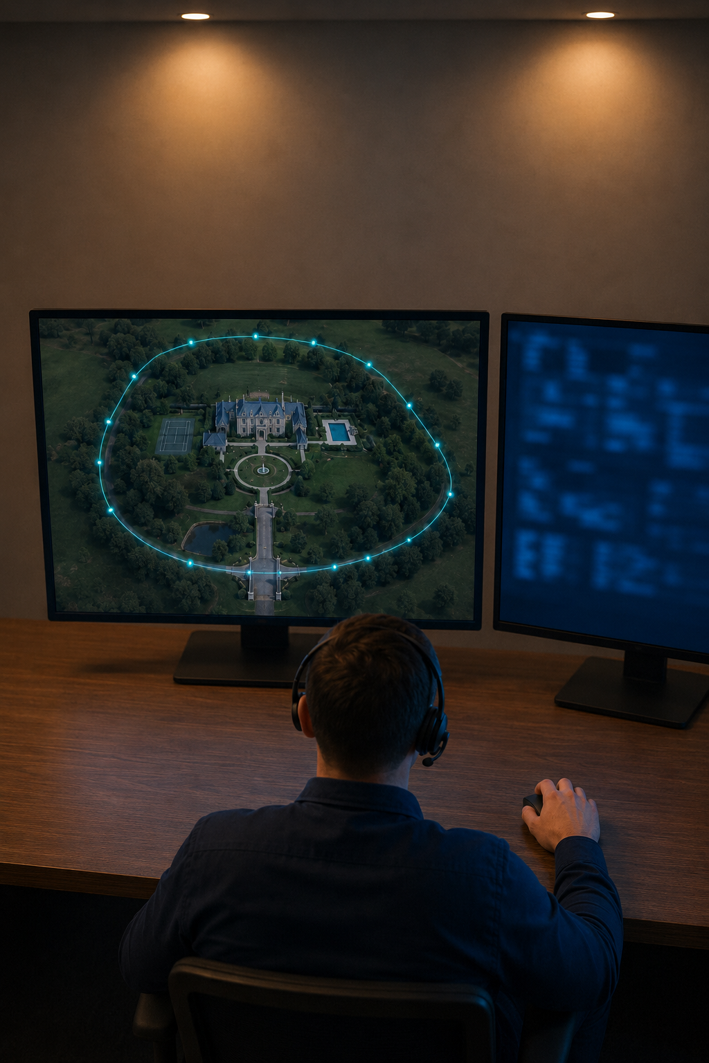
04Response/
05Data ArchiveEvent record
One sensor may trigger another. Movement may trigger a camera. Camera images trigger automated identification. That ID may trigger a field text alert, a control center alert and other configurable threat elevation events.
Automated real-time sensor data processing increases accuracy and saves time with fewer false positives. Image processing knows the difference between a loose dog, children, adults and wind-blown grocery bags.
Choose an event to watch PGISR detect it, verify what happened, assess the situation, and show the monitoring team how to respond.